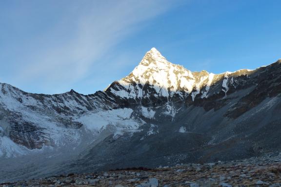
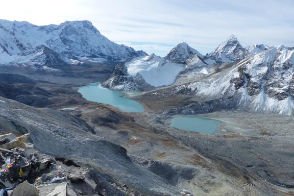
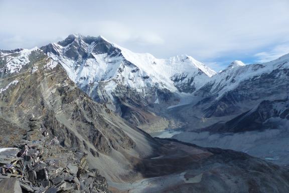
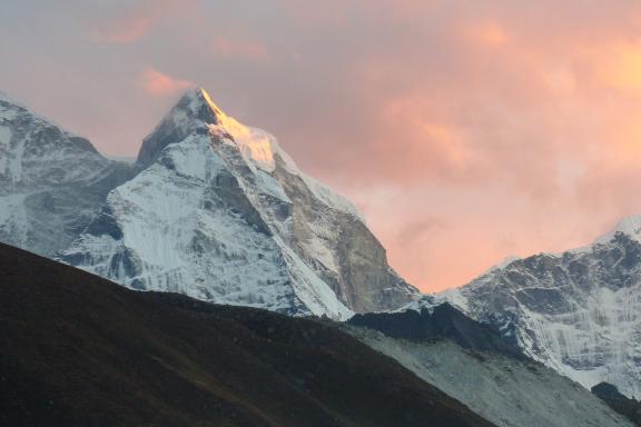
A challenging 7000-meter Nepalese summit
Highlights
- Ratio 1 sherpa for 1 participant
- Itinerary to optimize summit success
- Ascent of Mera Peak at 6476 metres
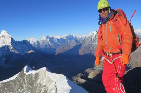
- Splendid views of the 8000
- High-altitude porters for collective equipment
- H24 personalized weather forecast services and medical hotline
- Preparation course, live expedition coverage
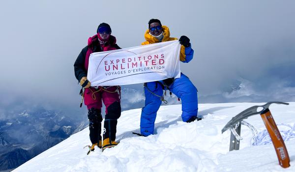
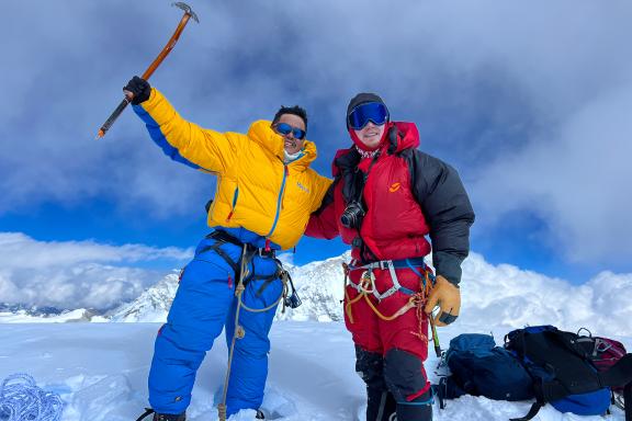
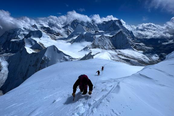
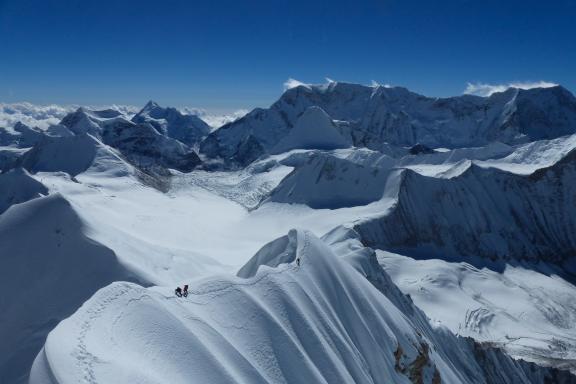
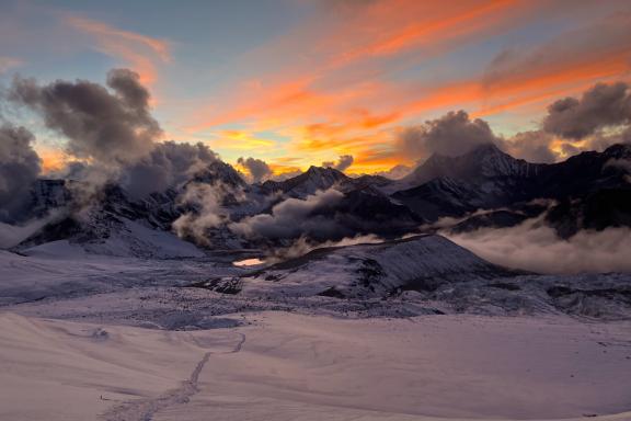
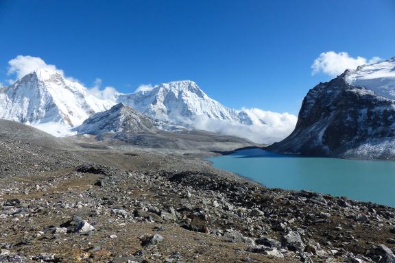
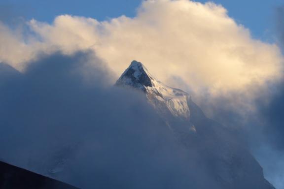
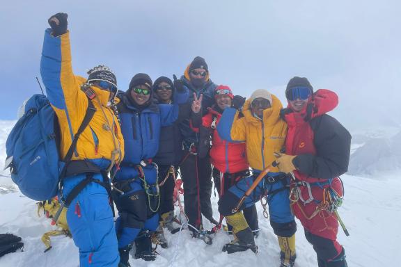
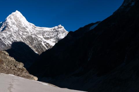
We attempt the ascent of Baruntse at 7129 meters, on the boundary between the Everest and Makalu massifs. Isolated by vast glacial expanses, access is relatively difficult. We cross the Mera Pass and take the opportunity, for those who wish, to climb Mera Peak to 6461 meters, then reach the Baruntse Base Camp. We climb it via the West Col, a route opened in 1952 by Eric Shipton and Edmund Hillary. An approach trek through the splendid Hinku and Hunku valleys, between sparkling glaciers and emerald lakes, provides excellent acclimatization. The final assault on the South Ridge will be led from the Barun plateau, with its extraordinary panorama of Ama Dablam, Lhotse and Makalu.
Overview
See footage of our Baruntse expedition in autumn 2023.
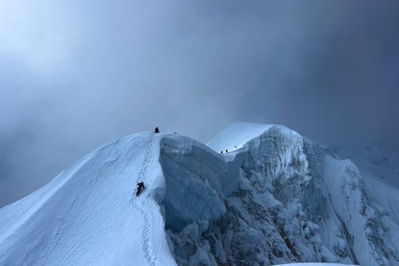
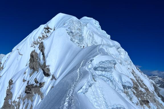
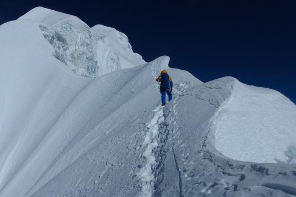
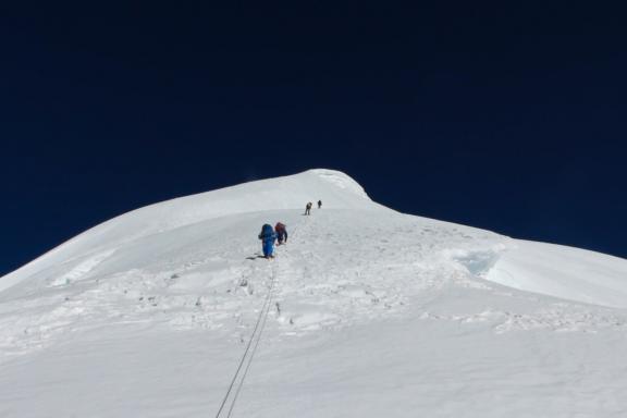
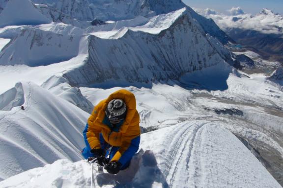
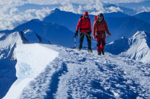
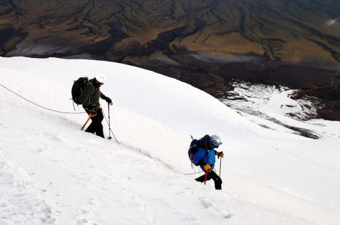
This wild ascent is sublime on its final ridge, and represents good preparation for even more technical 7000 meter summits or a first 8000 meter peak. The final ridge is very airy, very exposed to the wind, and the weather conditions at very high altitude have discouraged many a climber. Gradients do not exceed 45°, so you need to be able to climb with an autonomous rope party, even if most of the time we manage to equip the ridge with fixed ropes.
The best time to climb is autumn (September to November) and spring (April to mid-May).
Our advanced mountaineering courses at the École de l'Aventure can be a great asset, both for building confidence and for gaining autonomy.
Click here to see the animated itinerary for the ascent of Baruntse.
Itinerary
DAYS 1 & 2: EUROPE — KATHMANDU
Day 1
Flight from Europe to Kathmandu. Arrival is usually on Day 2. Welcome by our local team and free time to explore the city.
DAY 3: KATHMANDU — LUKLA
Day 3
We leave Kathmandu in the morning for a superb flight to Lukla, where we meet our team.
DAY 4: LUKLA — CHUTANGA
Day 4
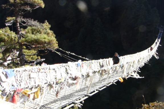
We follow a gently sloping path. We cross a shoulder to a sheepfold, then a steep climb awaits us before reaching a trail with ups and downs in a rhododendron forest. We descend slightly and cross a stream before climbing to the hamlet of Thukdingma. All that remains is a final zigzag climb through forest to reach the village of Chutanga.
DAY 5: CHUTANGA — THULI KHARKA
Day 5
From Chutanga we wind our way up a wooded slope towards the austere gorge overlooking the village. Through the trees we can make out Chutanga and even the tall houses of Lukla below. We can perceive the mountains bordering the Thame valley. We reach the Kharkateng lodge and continue on an excellent trail, often snow-covered or even icy in autumn (poles recommended). We climb up the slope under a rocky bar to reach a grassy ledge. The view of the Himalayas now extends as far as Cho Oyu, the 8153-metre peak on the Tibetan border straddling the Thame and Gokyo Lake valleys. From the pass, we descend to the Hinku Khola valley via another pass, the Zatrwa La, which can be seen high up at the bottom of the valley. After crossing the second pass, we descend along the edge of a grassy central moraine before zigzagging down to Thuli kharka (Chetarbhuk).
DAY 6: THULI KHARKA — KHOTE
Day 6
We descend towards the valley to find a cliff-side path that leads to a combe. We cross it and cross a ridge. The path continues through a new combe until we reach a scree corridor, which we climb up a superb stairway. We cross a ledge that gives access to a balcony trail overlooking the Hinku Khola valley, dominated by Mera Peak. We descend through a forest of young rhododendrons before reaching the Thulo Dunga site. The descent continues along the cliffside to Taktor. A "Nepali flat"(going up and down !) then takes us to Tashing Dingma, followed by a steep climb up the cliffside over a ledge before descending the other side to overlook the Hinku Khola from the moraine rim. The atmosphere is very austere. The trail now stays very close to the river, which we finally leave by climbing up into a pine forest. We reach Khote.
DAY 7: KHOTE — TANGNAG
Day 7
From the village of Khote we continue along the river with the south face of Mera Peak in our sights. We pass the confluence of the Hinku Khola with the Sanu Khola and discover mountains that complete the panorama to the left of the Kyashar. A slow ascent over stony moraine, then up through boulders along the river to Saure. The climb continues pleasantly through alpine meadows to Duk gompa, set in a cave. We then turn away from the river and climb the moraine to a sheepfold, ending up on the stony flat of the Thangnag moraine basin. The village lies behind a large boulder pile facing the impressive moraine heights descending from the Mera Peak glacier complex. The views of the peaks are splendid: Kusum Kanguru (6370 m), Mera West (6260 m).
DAY 8: TANGNAG — KHARE
Day 8
We leave the village, crossing the stony moraine to find the Mera La trailhead at the foot of a grassy moraine. The Kyashar summit features a vertical rock face that ends in a sharp point, while behind us we gaze at the string of glacial ridges of the Charpote Himal, Kusum Kangguru and Gonghla. We progress on a flat surface, alongside a sandy area, before climbing up to reach a new flat section. We climb back up onto the moraine. We see the first houses at the foot of the moraine below Peak 41.
DAY 9: ACCLIMATIZATION IN KHARE
Day 9
Acclimatization and practice of mountaineering technique on a glacier in the direction of Mera La. This is an opportunity to check everyone's equipment and get our bearings with crampons, ice axe, helmet, harness and jumar handle.
DAY 10: KHARE — MERA LA CROSSING (5415 M) — MERA LA BASE CAMP (MBC)
Day 10
We climb the moraine to cross the Mera La at 5415 metres. The mountain cirque is breathtakingly beautiful. We pass a shoulder and then a scree from which we can see Mera Peak, then Kangeta appears. Crossing the pass is easy, and the views of Kusum Kanguru and Peak 43 are superb. We reach the Mera La Base Camp on the Hunku Khola valley side at the foot of Naulekh.
DAY 11: MERA LA BASE CAMP — HIGH CAMP
Day 11
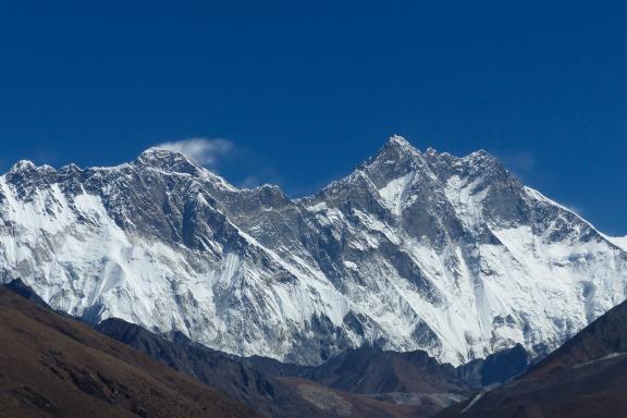
From Mera Peak Base Camp, we climb up to the pass on the side of a glacier tongue and then on snowy slopes. Behind us: Everest and Nuptse reveal themselves, then Makalu and Kangchenjunga appear in a pass between two peaks. The fifth 8000 of the day finally appears: Cho Oyu. We arrive at Mera Peak High Camp, located near the rocky spur at the foot of the Mera glacier.
DAY 12: OPTIONAL CLIMB OF MERA PEAK (6461 M) — KONGME DINGMA
Day 12
For those who wish to do so and feel sufficiently acclimatized, and weather permitting, this day can be used to climb Mera Peak (6461 m). This ascent is a plus for this expedition, but it should not detract from the objective of climbing Baruntse ten days later. On this subject, there are two opposing approaches: the one that advocates the climb of Mera Peak as logical training for what is to come, and the one that proposes concentrating exclusively on climbing Baruntse, in order to retain all one's strength and concentration. Both are justified and, in the end, depend largely on each individual. If we do not opt for the climb, we will rest a while and then return to Kongme Dingma. If we do opt for an ascent, then we start very early on the north side, first on a steady 30° slope, then at the end up to 40°. Sometimes we have to use a fixed rope. Then we reach the summit at 6461 metres, from where we can admire the most prestigious Himalayan peaks, including four 8000 meter peaks: Everest, Cho Oyu, Makalu, Kangchenjunga. But also Ama Dablam, Nutpse, Baruntse and the south face of Lhotse. It is a long way down to Kongme Dingma. The trail follows the Honga Khola river.
Number of trek hours: 10 to 12 hours for climbers / 4 to 5 hours if not climbing
Elevations: + 700 m / - 1500 m (- 900 m if not climbing)
DAY 13: KONGME DINGMA — CAMP CHAMLANG
Day 13
We reach the Chamlang Camp. Chamlang is a 7319 meter peak first climbed by a Japanese team on May 1962.
DAY 14: CHAMLANG CAMP — BARUNTSE BASE CAMP
Day 14
Today we reach the Baruntse Base Camp, which we will set up at around 5350 meters on the shores of Lake Baruntse. We set up camp and settle in.
DAYS 15 TO 26: BARUNTSE CLIMB (7129 M)
Day 15 to 26
10 useful days, with a possible 2/3 contingency days in case of bad weather. We then define our climb program. By way of illustration, the climb program might look something like this:
D15: Rest at base camp (5350 m) and definition of approach tactics.
D16: Ascent to Altitude Camp 1 (Altitude Camp 1 = AC1) at 6100 meters. We spend 2-3 hours ascending a moraine that leads to the foot of the West Col pass. The ascent of the pass begins with easy mixed climbing equipped with fixed ropes. Then it is a 40° snow slope to the col, still equipped with fixed ropes.
Number of trek hours: 2 to 3 hours from BC to AC1
Elevation gain: + 750 m – End-of-day altitude: 6100 m
D17: Return to base camp. Rest at base camp (5350 m).
Number of trek hours: 1 to 2 hours return
Elevation gain: - 750 m – End-of-day altitude: 5350 m
D18: Rest at base camp (5350 m)
End of day altitude: 5350 m
D19: Rest at base camp (5350 m)
End of day altitude: 5350 m.
D20: Climb to Altitude Camp 1 at 6100 meters and overnight in tents at AC1. See description of day 16.
Number of trek hours: 2 to 3 hours from BC to AC1
Elevation gain: + 750 m – End-of-day altitude: 6100 m
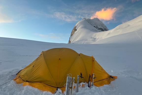
D21: Climb to Altitude Camp 2 at 6500 meters and overnight in tents at AC2. From AC1, we start on a 300 meter flat and gentle slope that skirts a few crevasses. We then emerge on another gentle slope for around 200 meters. Then we reach a large plateau where we set up camp at 6500 meters. From here, we can see almost all the way to the summit ridge and summit.
Number of trek hours: 4 hours from AC1 to AC2
Elevation gain: + 400 m – End of day altitude: 6500 m
D22: Climb to the summit of Baruntse at 7129 meters. Initially flat for 150 meters, the first 30° slope leads to a "false pass". We then climb towards a rimaye, which we bypass on the left, then a new slope for 200 meters and another rimaye. We then climb to the start of the summit ridge, which is very exposed to the wind. A succession of jumps leads us up the last part of the ridge to the summit. After a round of congratulations, we return down to AC1 or AC2 for the night.
Number of trek hours: 9 to 10 hours from AC2 to the summit, then back to AC2 or AC1 to spend the night
Elevation gain and loss: + 630 m / - 630 m (AC2) or - 1030 m (AC1) – End-of-day altitude: 6500 m (AC2) or 6100 m (AC1)
D23 TO 26: return to base camp (5350 m), dismantling of camp and two to three contingency days for weather window.
Number of trek hours: 3 to 4 hours AC2 and 1 to 2 hours AC1
Elevation loss: - 630 m (AC2) or - 1030 m (AC1) – End-of-day altitude: 5350 m
DAY 27: BARUNTSE BASE CAMP — FOOT OF AMPHU LAPSA
Day 27
We head for the foot of Amphu Lapsa, a glacier pass used by expeditions to and from Makalu. We are in a high-mountain, rugged and morainic environment.
DAY 28: AMPHU LAPSA FOOT — AMPHU LAPSA 5850 M — CHHUKHUNG
Day 28
We cross the L'Amphu Lapsa pass and join the "classic" trekking trail over the high passes of Everest and Island Peak.
DAY 29: CHHUKHUNG — TENGBOCHE
Day 29
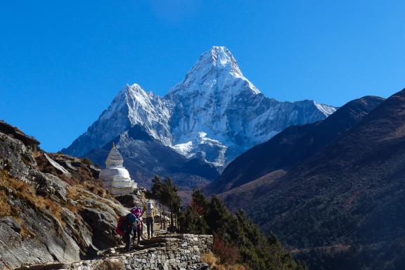
We descend to the Imja Khola and cross Pangboche before reaching Tengboche, dominated by its gompa, a Buddhist monastery and one of Nepal's most important Buddhist sites. We are at the foot of Ama Dablam.
DAY 30: TENGBOCHE — NAMCHE BAZAR
Day 30
We descend the entire valley, with the Ama Dablam on our left. All the way down, we stop at numerous lodges for a comforting cup of tea. Then we reach Namche.
DAY 31: NAMCHE BAZAR — LUKLA
Day 31
Last day's trek, taking the same route as the outward journey.The descent can be hard on the knees, but we lose altitude and breathing becomes easier.
DAY 32: FLIGHT LUKLA — KATHMANDU
Day 32
Return flight to Kathmandu. Depending on arrival time, free time in the Nepalese capital.
DAY 33: KATHMANDU
Day 33
Additional contingency day that can be used during the ascent or as a free day in Kathmandu.
DAY 34: KATHMANDU — INTERNATIONAL FLIGHT
Day 34
DAY 35: ARRIVAL IN EUROPE
Day 35
END OF EXPEDITION
For reasons that cannot be foreseen at this stage, such as unpredictable weather, the physical fitness or lack of fitness of participants or other circumstancess (customs formalities, road conditions, traffic, landslides, force majeure, etc.), your expedition leader may have to adapt the program, if necessary, to ensure the smooth running of your trip. He remains the sole judge and the one who guarantees your safety. Activity times are given as an indication and may vary from one participant to another.
The itinerary for all our expedition programs, or the ascent program for our high-mountain expeditions, are given here as a guide only. They are flexible enough to adapt to weather conditions with a few contingency days. In any case, you should follow the recommendations of your guide, who may suggest that you cancel your expedition due to weather, safety or physical conditions.
It is important to remember that this is a truly unsupported expedition, and that anything can happen. Expeditions Unlimited, your expedition leader, your guide or our local teams can in no way be held responsible.
Any costs incurred as a result of a change in the expedition schedule (extra nights' accommodation, extra flights) will be borne by the participants and not by the organizers. "Contingency days" refer to the expedition in the strict sense of the term (base camp/base camp in the mountains, departure point/exit point on a traverse, etc.).
Any early return of the expedition or of certain members only (early success, abandonment, etc.), generating costs for accommodation, meals, changes to air tickets or other activities not provided for in this program, will be charged in full to the participants.
Trip notes
Guiding
YOUR PRIVATE GUIDE
Key to your success on all our expeditions, we systematically use a ratio of one high-altitude sherpa per participant. He accompanies you during the key moments of the ascent and during the summit push. He is particularly experienced at high altitude. We select him for you. He generally speaks English. He may not be with you all the time during rotations between camps, as his role is also to manage the carrying operations to set up the camps.
A summit bonus is also arranged for your high-altitude sherpa, to be paid in cash on site after the ascent. This bonus is due from the moment you leave the last summit camp on your summit push attempt.
Our team of "altitude sherpas" can be made up of several Nepalese ethnic groups, Sherpa of course, but also Tamang, Gurung, Rai, Bothe, etc.
EXPEDITION LEADER
The expedition leader plays an important role in setting up the logistics of the upper camps and implementing the strategy required for success: rotation in the high-altitude camps, acclimatization of each participant, study of weather reports to decide on the optimum moment to launch the summit push.
The expedition leader represents Expeditions Unlimited to the group, our partners and local authorities. Mainly based at base camp, he may accompany you to the high-altitude camps to oversee the logistics of the expedition. He takes any necessary decisions. His authority is absolute and undeniable. You must respect his decisions, as well as those taken collectively.
From one to five participants, you have a local English-speaking Nepalese expedition leader who has coordinated numerous expeditions to high-altitude peaks. He can be shared with other expeditions. He can also be one of the private guides described above, usually the most experienced. In this case, he combines the two functions of expedition leader and guide (see above).
For groups of six or more participants, an experienced French expedition leader is assigned exclusively to your expedition.
LOCAL TEAM
For a project involving the ascent of a major Himalayan peak, our team is particularly well-staffed to deal as effectively as possible with the two key issues of an expedition: technical supervision and the carrying of equipment (food, collective and personal equipment). This is an important issue, as it directly affects the success of both parties. As a result of more than 10 years of joint reflection and work, our operation is fully optimized and the tasks entrusted to each person determine their own status.
A kitchen staff will be present at base camp.
There is a team of porters who help us set up base camp with all the equipment and cooking facilities. Beyond that, the team of high-altitude sherpas takes over. In particular, they help us to set up the high altitude camps and with the carrying from base camp.
Each participant is responsible for carrying his or her own personal belongings and high-altitude food. Our rucksack will weigh between 10 and 12 kg. Collective equipment is carried by the Nepalese team.
And throughout the program, we will rely on other local skills as needed. Finally, we will have access to personalized weather forecast services and a specialized high-altitude doctor from Ifremmont (see above).
For unpredictable reasons at this stage, like adverse weather conditions, insufficient physical condition of participants, insufficient competencies of participants related to the intended activities, your guide may decide to adjust the intended program and/or activities. At all times, his decision will be final on all matters likely to affect the safety and well-being of the trip.
Difficulty level
Level rated: difficult
This program is aimed at participants in good physical shape, with a significant sport practice, endurance in particular, holding a strong mental to face difficulties that are unforeseen by nature.
To be as self-sufficient as possible, you need to have significant mountaineering experience, and active hiking, trekking or mountaineering experience. You will need to be able to progress in a roped party, either on your own or roped up with your guide, and be familiar with rope handling. Throughout the expedition, each participant carries a lightweight rucksack containing a water bottle, camera and protective clothing for the day. The rest of the equipment is carried by porters.
From a technical point of view, this climb is rated as PD - A Little Difficult (Peu difficile in French). You need to be comfortable on 40/45° snow slopes, and experience of expeditions at altitude is essential.
Secondly, to optimize your chances of success, you need to be well-prepared both physically and mentally, given the high altitude and hostile environment (remoteness, cold, bad weather, discomfort). Team spirit is equally important. Each participant is responsible for applying safety rules, looking after his or her own equipment and maintenance, setting up camp and preparing meals. As always in this type of project, the key to success is teamwork and team spirit.
Therefore, participation in the preparation course, the date of which will be specified later, is mandatory. In addition, mountaineering preparation courses as part of our Adventure School can be a serious asset, both to build confidence and to gain autonomy.
To register for this expedition, you will be asked to provide an expedition (mountain climb list)/trek/athlete CV. A hypoxic stress medical test is also mandatory, as is a medical certificate for completing an ascent in the Himalayas.
You benefit, free of charge and for the duration of your expedition, from membership in the 24/7 high altitude medical service set up with our partner Ifremmont, of which we are partners. See below.
If you have any health problems that you feel could compromise the success of your expedition, please let us know so that we can assess together whether they are compatible with this expedition. And we strongly advise you to have a check-up with your dentist before departure, given the length of the expedition and the significant variations in altitude and pressure.
Last but not least, we can provide you with a sports coach and/or a mental coach for the months leading up to your expedition, to help you prepare in the best possible conditions. We have developed remote protocols in this field, just as we have built a hypoxia preparation protocol which we describe later in this document in the chapter devoted to Ifremmont.
In the longer term, we offer refresher and advanced mountaineering courses as part of our Adventure School, as well as expeditions to peaks at 5000, 6000 and 7000 meters, offering you the ideal progression towards your dream goal at very high altitude.
Technical difficulty
Mountaineering level: PD like... A little difficult (Peu Difficile in French)
In this program, the use of mountaineering equipment (crampons, harness, ice ax, ropes, etc.) is necessary and the route tackled may involve small difficulties, whether it is a little more inclined during glacier mountaineering, height of the walls, the length and the continuity of the efforts. It is therefore aimed at rough beginners who already have a little experience in mountaineering, who have already completed a few ascents of this level or slightly below. The mountaineering courses at our Adventure School from three days are for you. And this technical rating applies of course to normal weather conditions: the difficulty can increase in the event of bad conditions, fresh snow on rocks, insufficient or lack of quality of ice , etc. Likewise, the situation changes radically, for the same technical level, with the altitude, the weight of the bag, the lack of equipment on the route, the fatigue associated with the approach if it is long, the environment, if particularly hostile, etc.
Meeting point
We meet up in Kathmandu and are welcomed at the airport by our local teams.
Given the diverse origins of the participants on this trip, international outward and return flights are not included in this package. In most cases, we book flights on your behalf to ensure that the whole group arrives at the destination at the same time. We do not charge any fees for these air bookings. Please do not hesitate to contact us. If you book your own tickets, we will advise you on the ideal flight schedule to enable all participants to arrive within a reduced time frame. At the very least, you need tickets that can be modified.
Accommodations
KATHMANDU AND TREKKING
In a single room in a 3/4-star (***) hotel accommodation in Kathmandu.
During the trek, we will be staying either in individual tents or in lodges. Lodges in Nepal are of very random comfort. Lodges can resemble a refuge or sometimes our local B&B. Most are family homes with double, triple or dormitory rooms. Toilets and showers are always separate. It is important to check that the water is not heated with wood, as this contributes to deforestation. Most of the time, water is heated with solar energy.
BASE CAMP
At base camp, we stay in individual tents.
The base camp is our home for several weeks, and must be as comfortable as possible to allow us to recuperate properly on our return from the altitude camps. It should also enable us to cope with periods of bad weather in the best possible conditions. Each participant has his or her own individual tent with a comfortable mattress. A mess tent is the main living area. Tables and chairs are permanently installed. We also have a shower tent and a toilet tent.
HIGH-ALTITUDE CAMPS
During the ascent, at the altitude camps, we have an altitude tent for 2 people, or even 3 people at the last camps.
Meals
KATHMANDU AND TREKKING
On arrival in Kathmandu, a welcome dinner is offered on the first evening. Similarly, on your return from the expedition, a farewell meal is provided.
In the towns, there are many small (and large) restaurants where you can sample typical local cuisine. With the exception of Kathmandu, breakfasts and evening meals are prepared by the lodge's kitchen staff or cooks and served in the lodge's dining room or mess tent. Depending on the profile of the stages (length of the day's walk and/or presence of water), midday snacks will be served hot or cold in the form of picnics.
BASE CAMP
All meals are prepared by the kitchen staff using local ingredients, including rice, pasta, lentils, potatoes, vegetables, eggs, a little meat, etc. They are served in a private tent. Hot non-alcoholic beverages such as tea and coffee are provided free of charge. We recommend that you stay hydrated at all times.
HIGH-ALTITUDE CAMPS
At C2, a cook will be on site for the duration of the expedition. At altitude, you often have to force yourself to eat. The use of freeze-dried food is almost unavoidable. But such dishes, appetizing in the valley, quickly become a source of disgust in high altitude camps. During the preparation course, we bring a sample of lyophilized dishes for you to taste, to indicate your preferences, which we do our utmost to respect (depending on the stocks available at the time of final purchase). You can also bring along a few of your favorite dishes (if you have any)or small snacks that give you pleasure (cold meats, cheese, etc.), or energy bars as the ones on offer locally are sufficient but basic, and so on. Be careful with the weight – we are talking about a kilo in all! For your comfort and the pleasure of tasting, we have included a few "delicacies" from France (savoury and sweet).
Each tent has a stove for melting snow (MSR Reactor type) and making water for freeze-dried food and hot drinks. The necessary gas cartridges are supplied.
HYDRATION
Take along tablets (such as Hydroclonazone, Micropur or others) to disinfect the water you put in your water bottle, depending on the source and on the advice of your guide. It is sometimes possible to buy purified water and fill your bottle without having to buy environmentally unfriendly bottled water.
Besides, glacier meltwater contains no mineral salts, which is partly compensated for by the soups and other meals you will be eating. But if you only drink tea or coffee made from glacier meltwater, or just water in your water bottles, over a long expedition, you will hydrate less well, risk gastric problems and, ultimately, deficiencies that will tire the body. To counter this problem, it is a good idea to pack mineral tablets in your luggage at some point, to supplement your water bottle. Two or three tubes of ten tablets are all you need.
Transfers / Transport
Transfers to and from the airport are by minibus or private car.
DISCLAIMER ON FLIGHTS WITHIN NEPAL: We offer participants in our journeys to Nepal the option of local air transfers. However, it is our duty to inform you that this transfer is only possible with a local Nepalese airline. And it is a fact that all local Nepalese airlines are blacklisted by the European Union as “insufficiently safe”. Other civil airlines around the world have not issued this review. We fly exclusively with the following three airlines: Tara Air, Buddha Air, Yeti Airlines, as they have recently been audited by an independent body and found to have acceptable safety conditions.
We ask you to sign the “information attestation form” which you will find at the end of this form with the registration form.
Group size
All transfers are by private vehicle. For a number of reasons, we prefer trekking to base camp: the progression designed for acclimatization allows us to prepare both physically and psychologically for the ascent. It's also the ideal time to get to know the team and start building a sense of group spirit and cohesion. The return journey is also planned as a trek. However, for an additional charge, you can also take the helicopter on the return journey. The number of participants is deliberately limited to allow for greater immersion, to avoid embarrassing our hosts, and to develop freedom and flexibility. However, the maximum number may be exceeded if the last person to register wishes to travel with one or more other people. The services will not be modified, and the conditions of the trip will remain the same.
Equipment
COLLECTIVE EQUIPMENT
All logistical equipment is provided, including individual tents at base camp with mattresses, mess tent, shower tent and toilet tent, as well as all collective and individual cooking equipment. At altitude, tents, stoves with gas cartridges, ropes and anchors.
INDIVIDUAL EQUIPEMENT
Personal equipment is not provided. A full list is given later in this document. It will be refined with us during the preparation course and up to the moment of departure, depending on your questions.
High-altitude sleeping bags, full-body down suits and/or good-quality down jackets are expensive items that you may not use frequently. We can rent you this specific equipment for the duration of the expedition. You must then return the equipment cleaned and in the condition in which it was given to you (deposit required). The rental price will be communicated to you on request. The cost of transport remains your responsibility, unless you pick it up at the agency in Lyon.
SECURITY AND COMMUNICATION
We have a minimum of one Iridium satellite phone for the group, which is used for logistical, weather and safety purposes only. Under certain conditions, participants may make use of it. For private use, please contact us.
The camps will be permanently linked by radio. Expedition leader, participants and high-altitude sherpas will also be able to use them.
The expedition will have a hyperbaric chamber at base camp, and a full pharmacy, though lighter, at the upper camps.
The group will be equipped with a Garmin Inreach beacon, enabling you to communicate freely and without restriction with your friends and family, wherever you may be on the mountain, as well as sending tracking and safety information. It is on this beacon that you will receive weather forecasts and that we will communicate together regularly.
At the same time, we will provide live coverage of the expedition for the general public, including a logbook and photographs, enabling you to share your adventure with your community. To this end, and if the base camp is not equipped with wifi or 4G, you can also use an IridiumGo system to send your photos. These systems are simple to use, but require a few tests before departure, which we will carry out together.
In addition, at the time of writing, all participants are free to bring any systems they have. We just need to be able to declare them to our contacts, so please let us know in advance.
Please note: in order to preserve the serenity of this expedition and the privacy of the participants, we ask you not to communicate with the general public during the expedition. You are, however, free to send information about yourself to your private sphere. By registering for this program, you accept this essential clause to protect the privacy of other participants in a project of this scale, where important issues of image, physical risk and financial considerations (sponsors, etc.) are at stake.
Our commitments to sustainable development
Our commitment to a better planet has been a reality since the beginning of our story but we always need to do more and better. Please find out more about our charter and our commitments in terms of sustainable development. We have drafted our charter and take action through six themes on which we act as concretely as possible, most often with you: social equity and cultural respect, preservation of water, waste management in expedition, protection of biodiversity, raise public awareness on these subjects and finally, the optimization and recovery of CO2 emissions.
Regarding carbon emissions, most of which are due to air travel, we calculated and communicated in 2018 on the carbon footprint of each of our programs, expressed in tonnes of CO2.
These calculations made us aware of the importance of the total carbon emissions generated by our activity. Also, we have committed in 2022 to a carbon reduction that we believe is unprecedented in the tourism industry, aiming to reduce the total emissions of our activity by 5% per year, taking 2019 as the reference year (3,430 tonnes of CO2). This commitment is in line with the trajectory of the Paris climate agreements of 2015, the current benchmark. Thus, in 2030, we commit ourselves not to exceed 2,160 tonnes of C02. Thus, our maximum “carbon” budget for 2024 is 2,950 tonnes and for 2025, this budget will be reduced to 2,800 tonnes. And so on until 2030. To find out more about all of our calculations and our commitments in terms of reducing our carbon emissions.
In addition, since 2019, we have been encouraging you when you book for your journey to contribute with a donation to an independent NGO, among the two we have selected that share the commitments made in our charter. We matched the amount of this donation to this program's carbon footprint. Thus, the journey you are considering generates 3,54 tons of CO2, which corresponds to a 100% donation of €106 for an estimated value today of €30 per tonne of CO2. This donation remains of course optional and you can decide to give between nothing and 100% of this amount. Since 2019, including covid years of 2020 and 2021, we have been able to collect thanks to you nearly €7,000 for these associations.
Please do not hesitate to come back to us with any questions you might have regarding this carbon footprint mechanism, our other sustainable développement commitments or even to share with us your experience through a chat or a mail at contact@secret-planet.com.
Expedition leader
We rely on the most experienced high altitude expedition leaders. They are part of our close community and co-opt each other. They know each other well and respect each other.
For this expedition, the expedition leader has not yet been formally appointed, but should be shortly.
In addition to their exceptional expeditions experience, our expedition leaders have the know-how to optimize the expedition's chances of success, both in terms of group management and in terms of the pace at which the group builds up its strength and progresses in altitude, key elements in this type of expedition.
Reviews
Val R.
Thank you Val for giving us such an adventure. Thanks also to our team and our Polish friends! And congratulations for your human, athletic and technical qualities. Great potential for the future. All the best to you.
Departures and pricing
Please find below all dates and prices for this expedition. Prices are quoted "from" and may be adjusted notably according to the number of participants (see trip notes for details). Please note that dates and prices for years beyond 2024, when given, are for guidance only and are subject to change and readjustment to take account of current economic realities.
No date works for me!
I initiate a new datePrice includes
- Welcome and closing dinner in Kathmandu
- 3/4 star (***) hotel accommodation in Kathmandu with breakfast, single room, for two nights
- Airport/hotel transfers in Kathmandu
- Domestic return flights Kathmandu/Lukla for participants
- Full-board accommodation in lodge or tent on the Lukla /base camp / Lukla trek
- Base camp food supply
- Carrying of personal belongings during the trek
- Base camp equipment: fully-equipped kitchen tent, heated mess tent for meals, tables and chairs, toilet tent, shower tent
- A cook and his assistant at base camp
- Base camp kitchen and mess tents for participants and Nepalese team
- Altitude tents, altitude food, stoves and fuel
- Insurance for altitude guides (evacuation, hospitalization, medical expenses, life insurance), cook and kitchen helpers
- 1 experienced French expedition leader for 6 or more participants. For less than 6 participants, the expedition leader is Nepalese, and his mission can be carried out by one of the more experienced Nepalese altitude guide (see below)
- An experienced Sirdar to manage local teams
- 1 Nepalese altitude guide for every 1 participant: he carries food and equipment to the high camps and assists you on the final ascent
- Collective equipment needed for the ascent (fixed ropes, anchors)
- Walkie-talkie for each rope party
- Equipment allowance, fees, tent and food for the cook and his helpers
- Satellite telephone at base camp (for emergency use only).
- Solar panels at base camp for charging small electronic equipment (such as cell phones and cameras). Not sufficient to charge computers
- Taxes and climbing permits, rope fixing fee and all government environmental taxes and garbage deposit
- Personalized weather forecast services
- Medical follow-up by Ifremmont during the expedition (see above)
- Preparation course (practical, medical)
- Live expedition coverage for your community (supply of InReach beacon, IridiumGo and subscriptions, LivExplorer service configuration)
Price does not include
- International flights
- Consular fees (visa)
- Any customs taxes upon arrival in Nepal
- Import taxes, if any, for satellite phones, professional communications equipment and commercial filming
- Any additional hotel nights in Kathmandu (over 2 nights)
- Any helicopter transfer
- Meals in Kathmandu other than breakfasts, welcome meal and farewell meal
- Expenses related to the early return of the expedition or of certain members only (early success, abandonment, etc.), generating costs for accommodation, meals, changes to air tickets or other activities not provided for in this program
- Expenses related to a shift in the expedition schedule (extra nights' accommodation and meals, additional airfares)
- US$800 summit bonus for your altitude guide, to be paid on site after the ascent (whether the summit is reached or not)
- Tips for local staff: 250 US$/participant
- Any personal communications by satellite phone (to be paid on site)
- Pre-acclimatization protocol developed with Ifremmont and Sport Altitude (personalization, advice, follow-up, equipment) as described above
- Personal equipment including individual high-altitude gear
- Rental of personal high-altitude equipment, subject to availability
- Any additional oxygen cylinder (approx. US$500, subject to availability)
- Pre-acclimatization protocol developed with Ifremmont and physical and/or mental preparation with a specialist Sport Altitude coach as described above
- Drinks and all personal expenses (personal visits, cabs, souvenirs, dry cleaning, etc.)
- Travel and expedition insurance (assistance, evacuation and repatriation)
Your custom expedition
We put our expertise, our knowledge of the terrain, our creativity, our experience, the quality of our guides and the reliability of our partners at your service to build your custom expedition. We can also personalize an expedition to your wishes as soon as you form a "closed" group, whatever the number of participants.
This means that, unless you authorize us to do otherwise, no outside participants join you, and we can personalize your expedition by adapting it to your own pace, with the program extensions you desire, a higher level of comfort, certain activities, other encounters, etc.
Every expedition of this type is subject to a specific quotation. To get in touch with us now, please fill in the short questionnaire below. One of our experts will get back to you to refine your request and make you a proposal.
